How to Enjoy the Best Itinerary for Yosemite National Park with Just Two days!
Yosemite National Park is among the most well-known national parks, and for good reason. Every turn through this park brings a new, breathtaking view of gigantic granite cliffs, glaciers, waterfalls, and lush meadows.
We found that exploring the park can be done by any age and skill level, whether you want to simply park and walk to a viewpoint or if you are an avid day hiker. Follow along to see the top sights, whether you have two days or ten!
Getting to Yosemite National Park
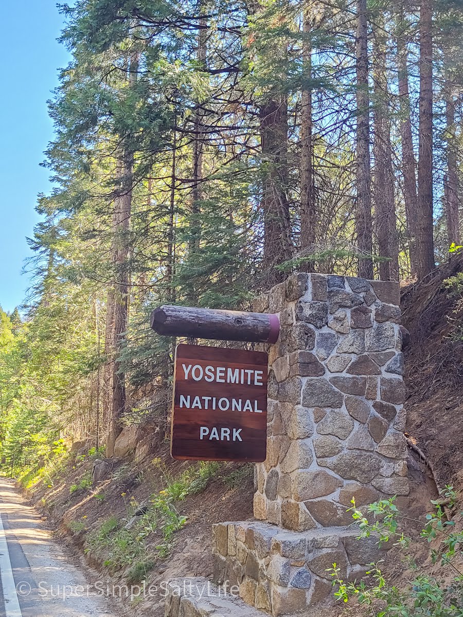
There are five entrances into Yosemite National Park: Wawona in the south, Arch Rock and Big Flat Oak in the west, Hetch Hetchy in the north, and Tioga Pass in the east. It is a huge park! Since we were traveling from Sequoia and Kings Canyon on our California road trip, on our first day we entered from the south.
Yosemite can be divided into 6 main sections: Yosemite Valley, Glacier Point Road, Wawona & Mariposa Grove, Tioga Road, Tuolumne Meadows, and Hetch Hetchy. We drove through the giant sequoias and Mariposa Grove for miles after entering the park at Wawona, and it was a beautiful drive!
The Yosemite Valley and Glacier Point are the most popular parts of the park, so that is where we concentrated our time with a day spent in each area. Tioga Road is the only road that completely crosses Yosemite National Park, from Tuolumne Meadows in the east going over Tioga Pass and ending near the Big Oak Flat entrance. Because it climbs upwards of 10,000 feet in elevation, this road is only open late May to November.
Hetch Hetchy is on the northwestern part of the park, about an hour and a half drive from the valley. There are several day hikes here, plus the Hetch Hetchy Reservoir which is the primary water source for over 2.5 million San Francisco residents!
Itinerary for the Best of Yosemite, Day One: Glacier Point Road
Glacier Point Road runs pretty much parallel to Southside/ Northside Drive, the road that travels through Yosemite Valley. While these roads look close on a map, it takes about an hour to get all the way to the end of Glacier Point from the valley or Wawona.
Note: There is a hike listed as “very strenuous” from Yosemite Valley up to Glacier Point, 4.8 miles one way with 3,200 feet of elevation gain. We chose to drive to Glacier Point Road. 🙂
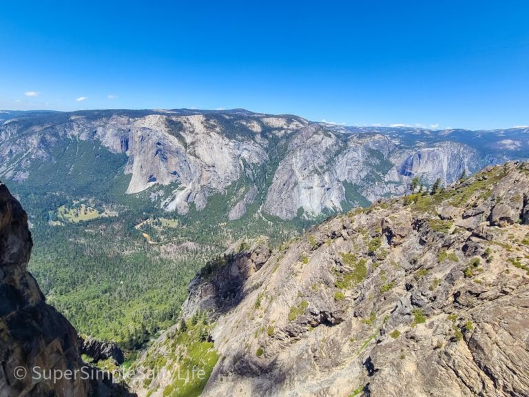
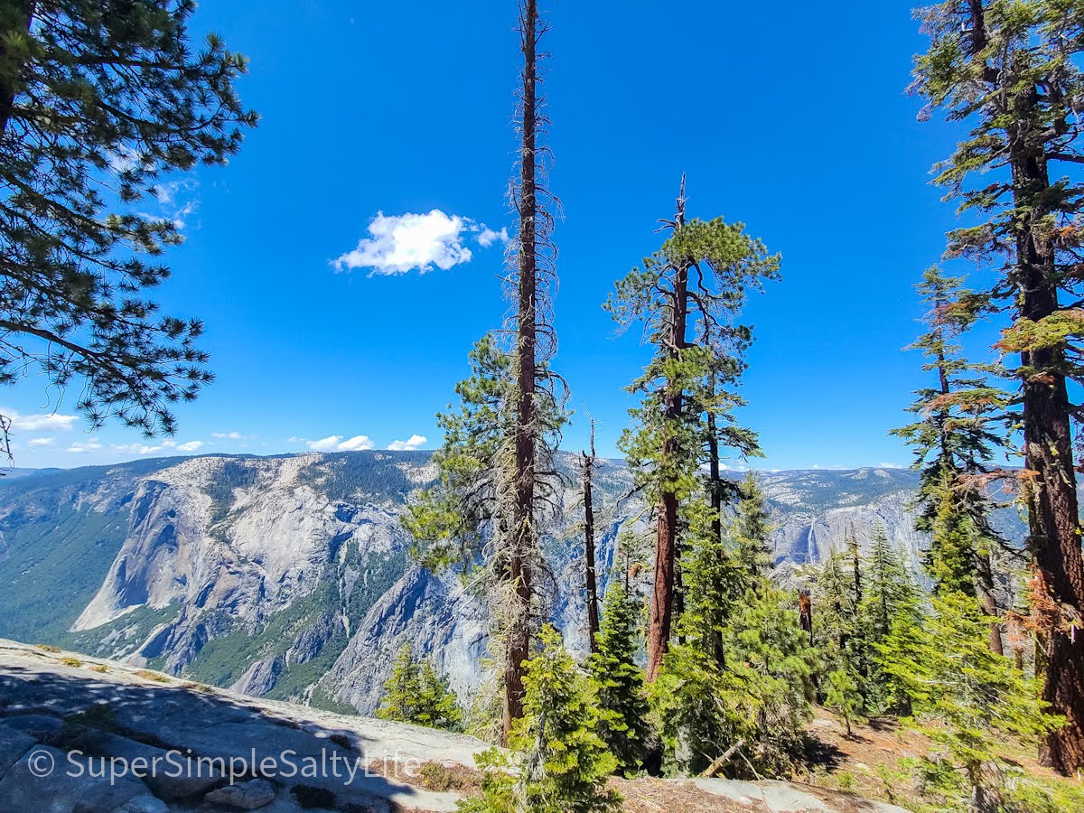
El Capitan and the valley below
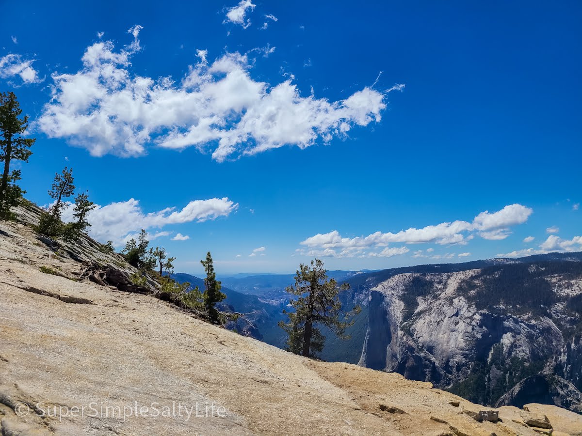
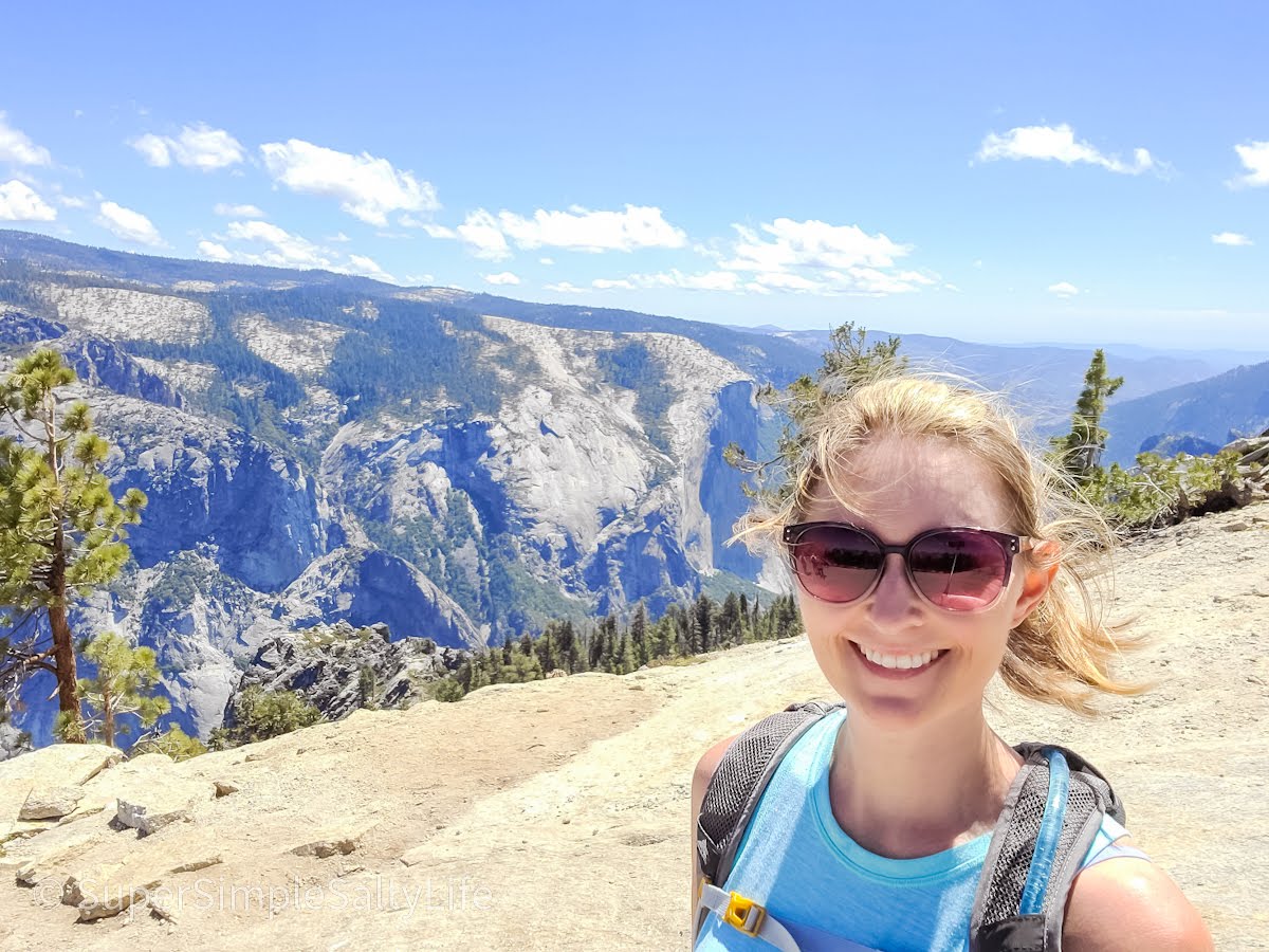
Taft Point and Sentinel Dome Trail
As soon as we entered the park, we turned onto Glacier Point Road and headed straight for the Taft Point/ Sentinel Dome trailhead. One of the busier hikes, we read that the parking area fills up early. And it definitely does! We had to get pretty creative in parking alongside the road without getting stuck, but we were able to find a spot close enough.
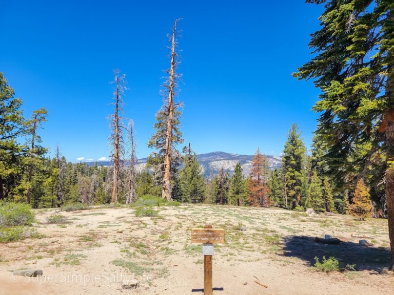
The hike to Taft Point (to the left) or to Sentinel Dome (to the right) is each about 2.3 miles round trip, or you can combine them for a 5.5 mile hike which is what we did. We recommend heading to Taft Point first, then follow trail signs to Sentinel Dome. The hike down from the dome was anticlimactic so I’m glad we did this last.
We were constantly in awe of the views from the rim and Roosevelt Point where the two trails connected, and we even came across a bear sauntering in a meadow nearby (not too close, don’t worry)!
Taft Point
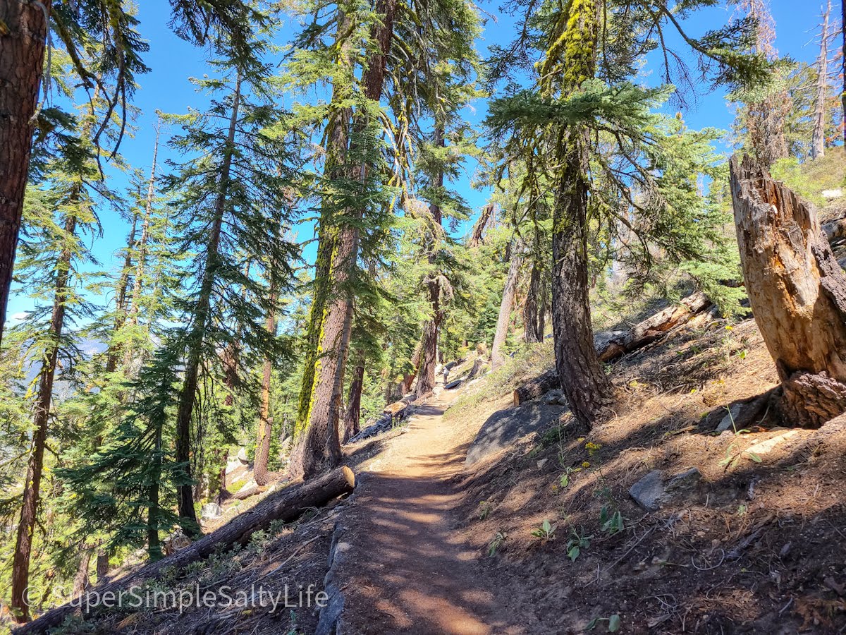
The trail to Taft Point was relatively easy. Just watch little ones when you get to the point, there are several deep crevasses right at the end! Most of the hike was shaded, walking in and out of meadows.
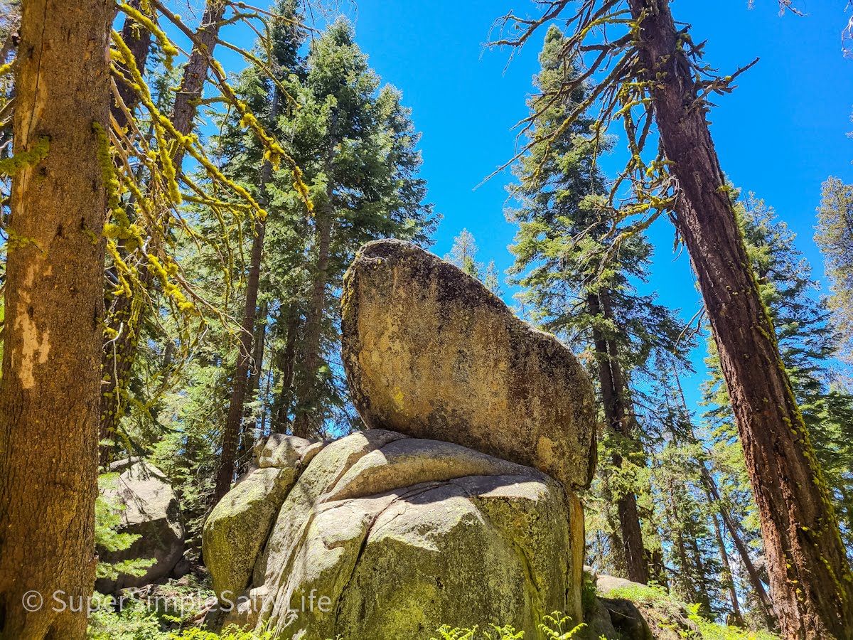
Huge Boulders line the trail
The minimal guardrail at Taft Point
If you’ve followed our journeys before, you know David doesn’t love heights/ cliffs/ edges of any kind. So I ventured out to the edge of several spots at Taft Point, and David stayed safely back. There was a group of people “highlining”, basically crossing from Taft Point to another high cliff via a rope. Incredible to watch, but definitely not something we were interested in!
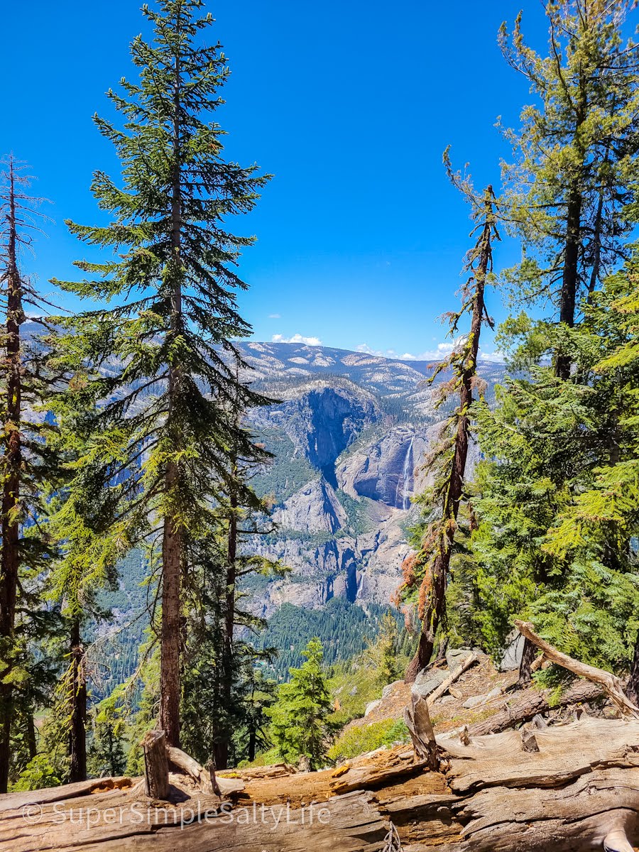
About halfway between the Taft Point and Sentinel Dome trail is Roosevelt Point, which continues to give you glimpses of the Valley, El Capitan, and Yosemite Falls. We couldn’t get enough of the views from up here, at almost 7,400 feet high!
Sentinel Dome
The hike from Taft Point to Sentinel Dome had a lot of ups and downs, and there are several switchbacks towards the end. But there was wildlife everywhere, and you can begin to see Half Dome in the distance once you get close to Sentinel Dome.
First sight of Half Dome
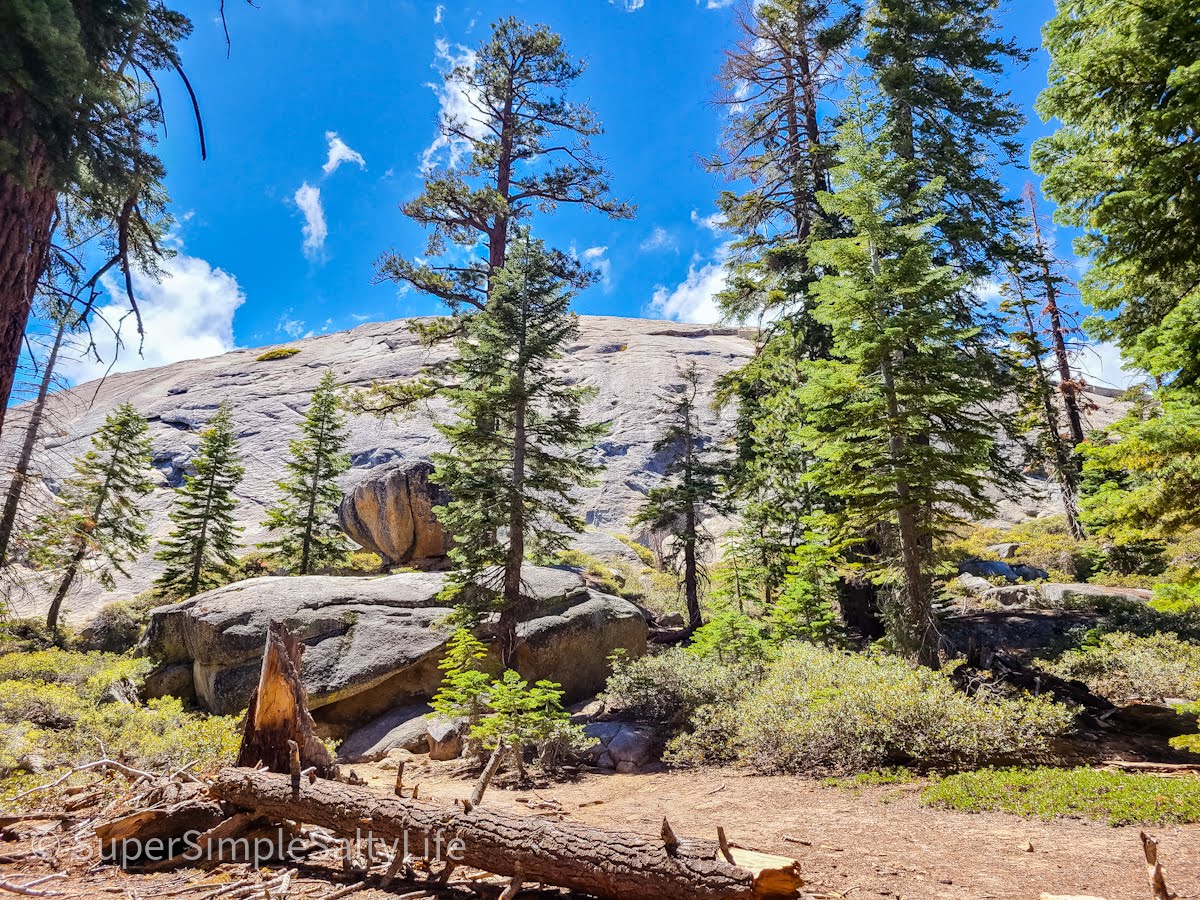
Almost to the top of Sentinel Dome
Once you get to the top of Sentinel Dome, the views are incredible. But it is windy! And if you have smaller kids with you, note there are no railings. My footing was a little sketchy coming down so just be watchful!
Glacier Point
Once we got back to our car we each had a cold drink and a snack. We always travel with a fully stocked cooler, see our travel tips below! Our next stop was Glacier Point, about a 10 minute drive to the parking area. This is another very busy spot, but there is plenty of parking and several restrooms.
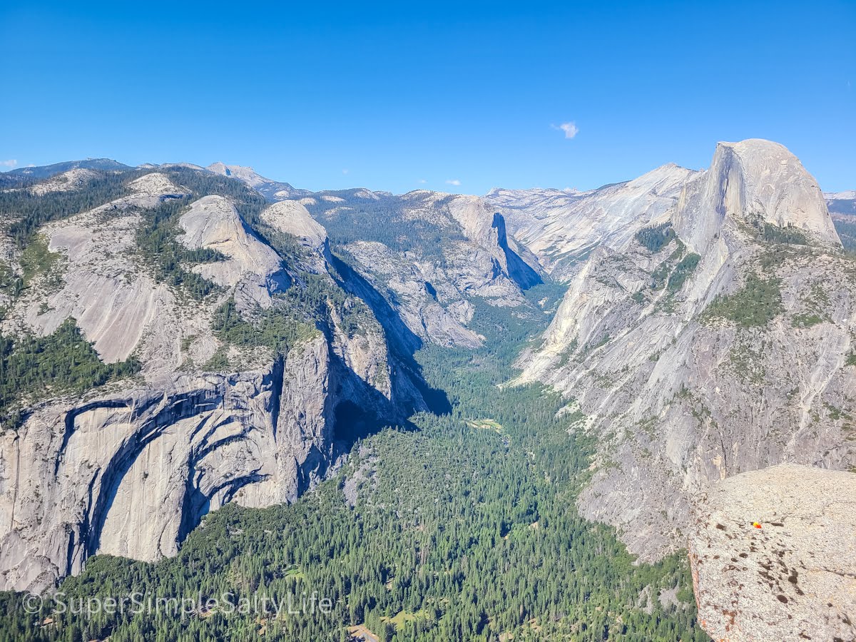
Glacier Point has several different overlooks, each one giving you a new angle of the valley over 3,000 feet below. Here you can see Half Dome and Vernal Falls. This would be a perfect spot to watch the sun go down! We spent about an hour exploring Glacier Point, but after that hike we were ready to head to our hotel and grab dinner. We had just one more stop before then: Tunnel View.
Tunnel View
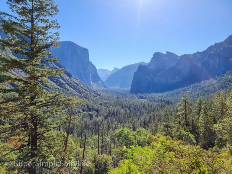
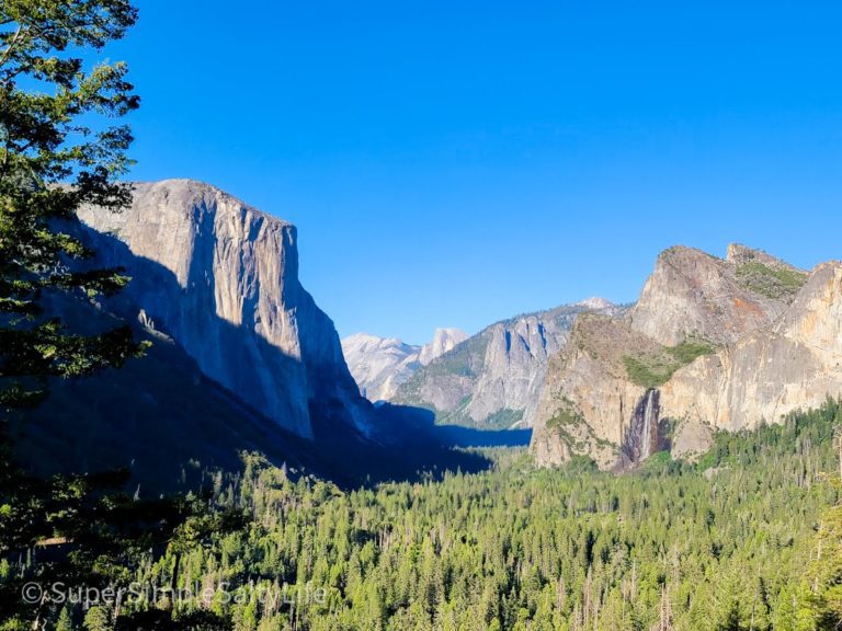
Tunnel View is one of the most iconic views of the park. We were excited to stop by at the end of our first day, especially since we were driving right past it on our way out of the park. This spot gets pretty full, so we suggest you find a spot and stay there for a while!
Travel Recommendation
One thing we definitely needed on this road trip is this portable GPS navigation. Not only was it a life saver when we found ourselves in the middle of a national park with no cell phone or car GPS services, but you can type in basically anything you want to see and it will direct you there. No more trying to look up coordinates or trailheads, or Googling addresses to landmarks on my phone. For this trip, all we had to do was type in anything we wanted to see like “Sentinel Dome” and this GPS would show us directions, TripAdvisor reviews, and trailheads. We definitely recommend it if you are travelers like us!
This post contains affiliate links. This means I may earn a commission should you choose to make a purchase using my link to Amazon.com.
Day Two: Explore Yosemite Valley
Our second day in Yosemite was spent all in the valley, and pretty much became “waterfall day”. There are so many gorgeous waterfalls sprinkled throughout the park that it is actually hard not to run into one! Knowing we wanted to check out Vernal Fall and the famous Mist Trail, we headed there first.
Our hotel was in El Portal, so we entered the park on day two via the Arch Rock entrance. The entry lines here were pretty nonexistent, compared to the Wawona entrance the day before.
Vernal Falls and the Mist Trail
We started out early again in hopes of getting a parking spot close by the Mist Trail trailhead. No such luck! We had to park about a mile from the trailhead at Curry Village, near the campground. This was interesting though because we got to check out the extensive camping area and the Curry Village tent cabins, which are definitely a great way to stay in the park!
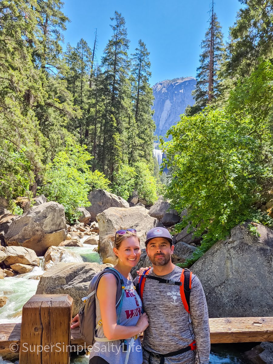
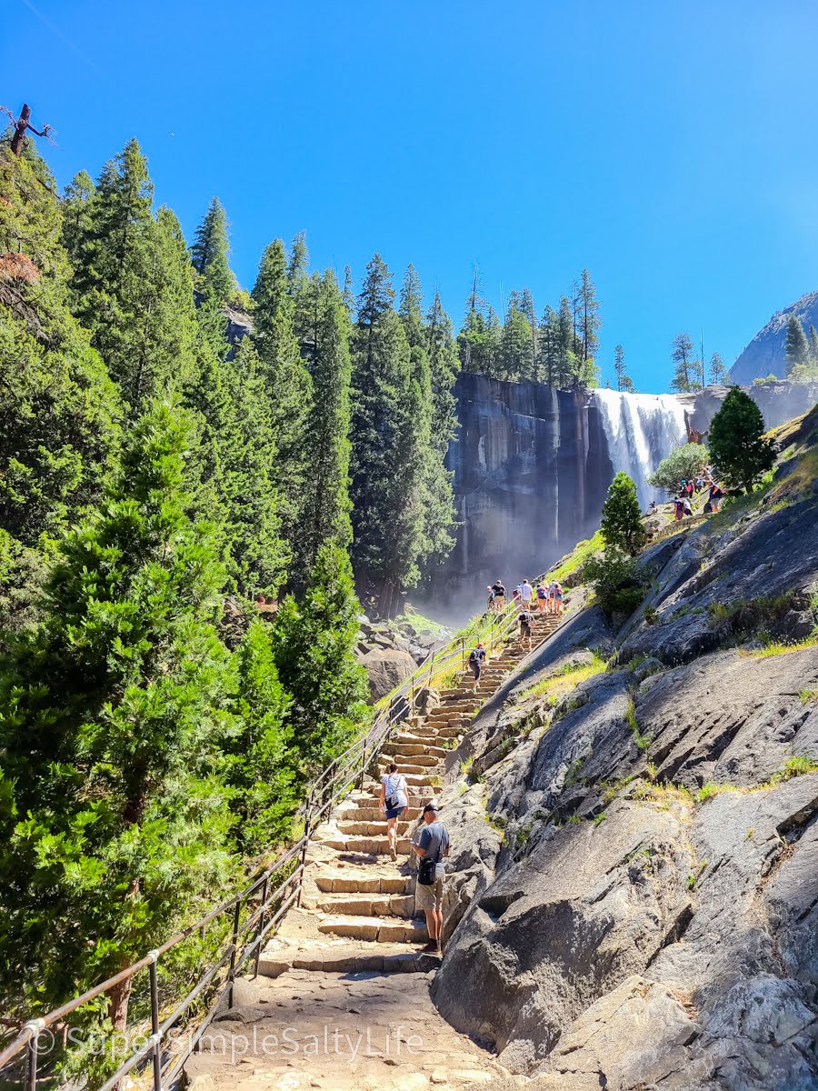
Since this was day 5 of our California road trip, and we had basically walked or hiked all day every day so far, we weren’t sure how far up the Mist Trail we would attempt to go. Slowly and steadily we made it to Vernal Fall, and began trudging up those rocky granite steps (there are over 600 in total!). We decided to stop right at the top of where the railing ends and the rocks get very wet and slippery.
Surprisingly, more people die on the Mist Trail than almost anywhere else in Yosemite. We took in the awe of the waterfall, noted the crowds of people trying to get up and down those slippery steps, and decided to head back down.
Lower Yosemite Falls
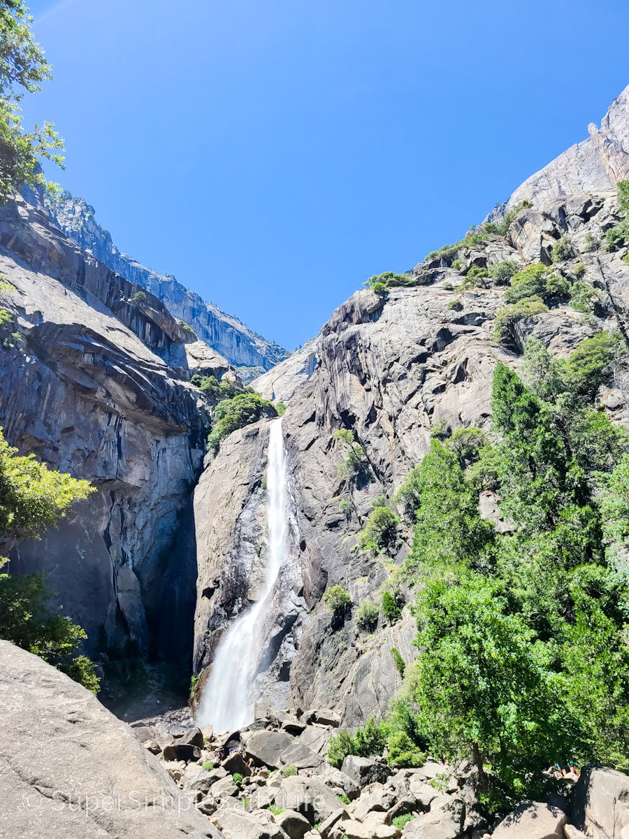
Yosemite Falls is the tallest waterfall in North America, and is divided into three sections: Upper and Lower Fall, and the middle cascades. The Lower Yosemite Fall trailhead is right in the heart of Yosemite Village, and there is parking across the street at the Yosemite Valley Lodge and gift shop. Be sure to follow the signs for the Lower Fall, or you will find yourself on the hike to the Upper Fall, a strenuous 7.2 mile round trip hike!
The trail to the bottom of the falls is a one mile easy walk. Once you get to the fall you can soak your feet in the cold mountain water pools below. Warning: this trail is crowded mid-day!
Upper and Lower Yosemite Falls
Lower Yosemite Falls
Tunnel View (Yes Again!)
After a day of sight-seeing in the valley we went back to our hotel for a swim and shower. Then it was back to the park for sunset! First stop was tunnel view again, because it is just so breathtaking. This time we picked a prime spot to sit and soak in the view.
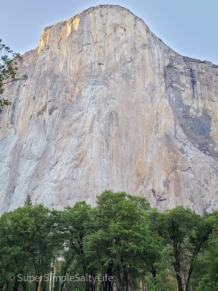
El Capitan
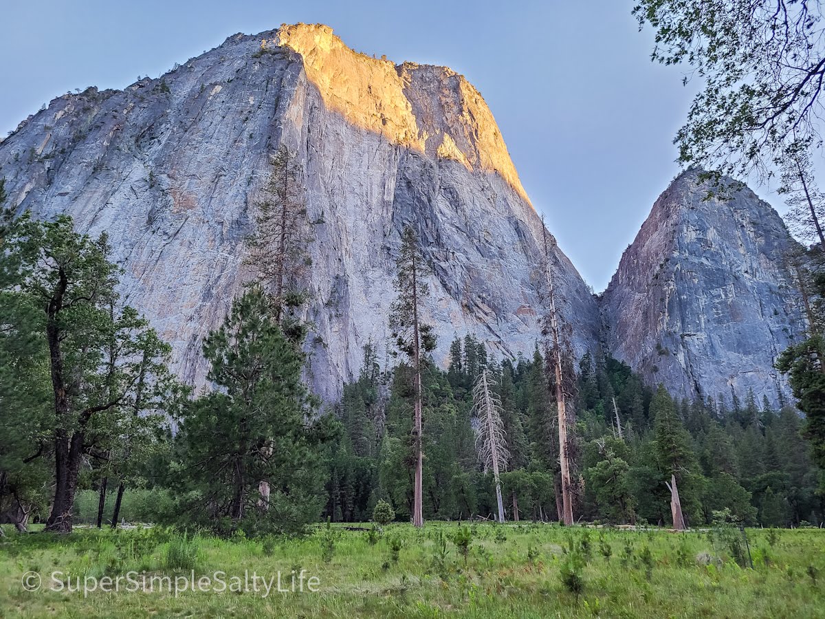
Looming 3,000 feet above the valley, El Capitan can be viewed from different angles as you travel throughout the park. It isn’t until you are standing at the base though that you really feel the magnitude of this giant granite rock. You can find parking right off the road near El Capitan meadow, where you can bring a chair or a blanket and watch the sunset over El Cap.
Honestly, this was my favorite part of the trip. It was so peaceful, I could have stayed in this meadow all night! We even watched as a group of 3 people set up hanging sleeping bags on the side of this huge mountain to tuck in for the night for some “vertical camping”. We brought some champagne, settled into the meadow, and toasted our last night in this beautiful place.
If You Have More Time to Spend in Yosemite:
If you have more than a few days to spend in Yosemite, there are several more hikes and places to explore in the park! Our suggestions:
If you are looking for a challenge, continue on the Mist Trail after Vernal Fall for 1.3 more miles to reach Nevada Fall. Rated as a strenuous hike, you will gain nearly an extra 1,000 feet of elevation adding this portion.
Bridalveil Fall trail was closed for construction when we went, but once they reopen you should definitely check it out!
Walk the Cooks Meadow Loop in the valley. This one mile trail gives you views of Yosemite Fall, Half Dome, and Glacier Point.
Stay for a sunset at Glacier Point, or get up early for a sunrise at Tunnel View.
If you are visiting during the summer, take a swim or float the Merced river on a tube at Sentinel Beach.
Take a day to drive the 39 mile scenic drive on Tioga Road through the northern part of the park.
Have a drink at the bar in the historical Ahwahnee Hotel.
Where to Stay and Eat in Yosemite National Park
We stayed at the Yosemite View Lodge directly outside the park in El Portal, right alongside the Merced River. (Not to be confused with the Yosemite Valley Lodge inside the park). The proximity to the park could not be beat. There were 5 pools, a large gift shop where you can get food and drinks for your day in the park, and most of the rooms have a kitchenette inside which is great for traveling families!
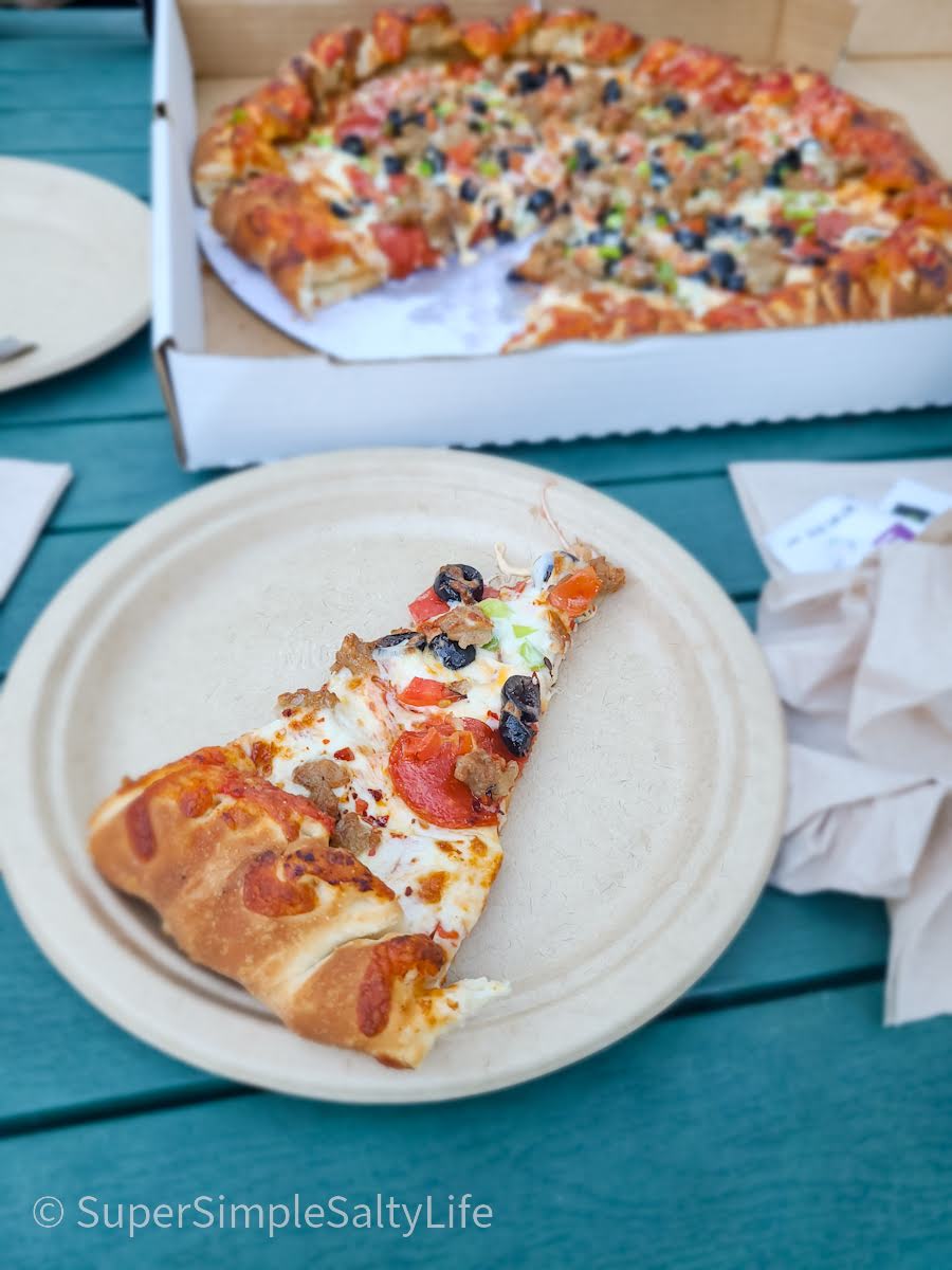
Right next to our lodge was a restaurant, but what drew our attention was the growing line outside for Parkside Pizza. After a long day of hiking and sightseeing, fresh hot pizza is a must. And it was so, so good, well worth the 20 minute wait!
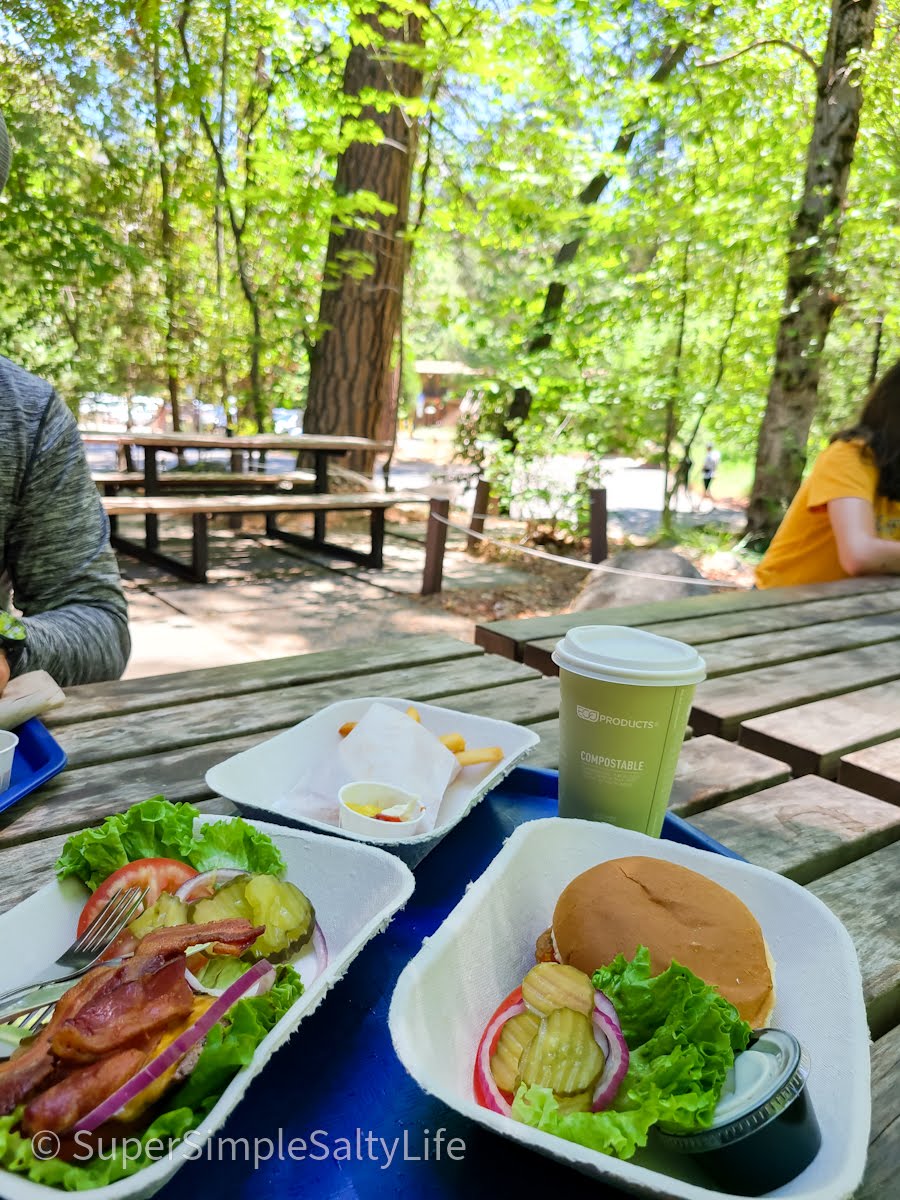
There are several places to eat and shop inside the park. In Yosemite Village, Base Camp Eatery serves food cafeteria-style, and it is right in the middle of the park. We brought our food outside and enjoyed a burger and a chicken sandwich under the shade trees.
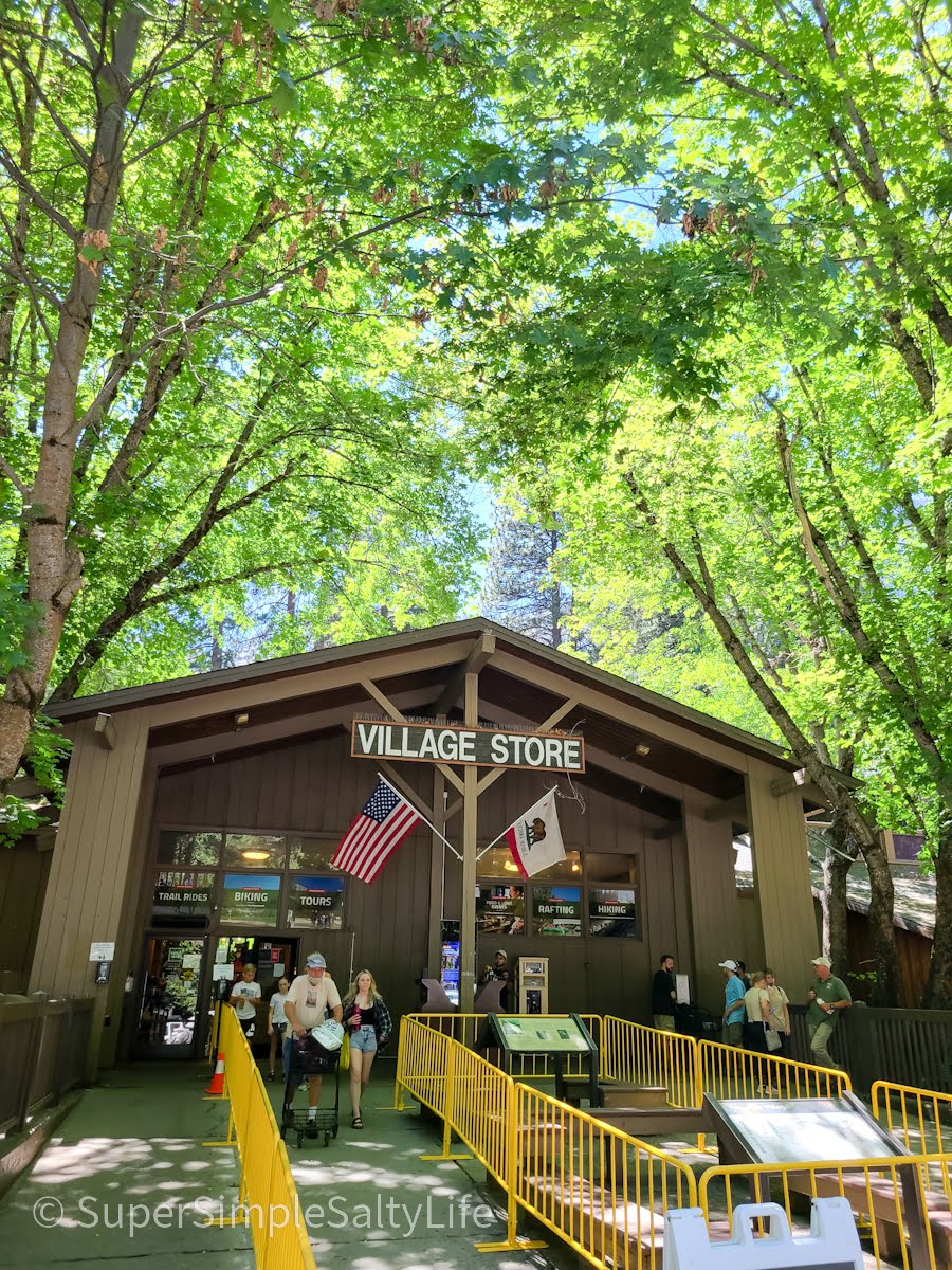
Yosemite Village also has a Village Grill and Degnan’s Kitchen, or there is pizza and a grill in Curry Village, and the Ahwahnee Hotel has a dining room and bar. The Village Store is a great place to get full groceries, and it has tons of souvenirs. We picked up a few shirts for our kids and a bottle of wine for ourselves!
Note: There are gas stations in El Portal, Wawona, or Crane Flat outside the park.
Tips for visiting Yosemite National Park
Pack a cooler before you head into the park. Stock it with ice, waters, and cold drinks for the day because prices are higher inside the park.
Wear sunscreen, and remember to reapply. The sun is strong at higher elevations, and not all hikes are shaded.
I brought a UPF car blanket like this one that really helped keep the sun off my legs during the day.
Bring a good GPS, there is no cell phone service in the park. We loved having this one on this trip!
Pack some sandwiches in your cooler and snacks for the car. Then you can eat whenever and wherever you want.
Fill up your gas tank before you enter the park, either in Wawona, Crane Flat, or El Portal.
Drink plenty of water! Parts of the park are at higher elevations and you can easily become dehydrated. Here is our absolute favorite travel mug. It stays cold all day, holds 40 ounces of liquids, comes in over 10 colors, AND fits in our cup holders!
If you liked these ideas for a great couple of days in Yosemite, check out our other California trip guides like Sequoia National Park and the Kings Canyon Scenic Byway. And be sure to follow along below to see our future adventures!
We use cookies on our website to give you the most relevant experience by remembering your preferences and repeat visits. By clicking “Accept”, you consent to the use of all the cookies.
This website uses cookies to improve your experience while you navigate through the website. Out of these cookies, the cookies that are categorized as necessary are stored on your browser as they are essential for the working of basic functionalities of the website. We also use third-party cookies that help us analyze and understand how you use this website. These cookies will be stored in your browser only with your consent. You also have the option to opt-out of these cookies. But opting out of some of these cookies may have an effect on your browsing experience.
Necessary cookies are absolutely essential for the website to function properly. This category only includes cookies that ensures basic functionalities and security features of the website. These cookies do not store any personal information.
Functional cookies help to perform certain functionalities like sharing the content of the website on social media platforms, collect feedbacks, and other third-party features.
Performance cookies are used to understand and analyze the key performance indexes of the website which helps in delivering a better user experience for the visitors.
Analytical cookies are used to understand how visitors interact with the website. These cookies help provide information on metrics the number of visitors, bounce rate, traffic source, etc.
Advertisement cookies are used to provide visitors with relevant ads and marketing campaigns. These cookies track visitors across websites and collect information to provide customized ads.



















2 thoughts on “See the Best of Yosemite National Park”